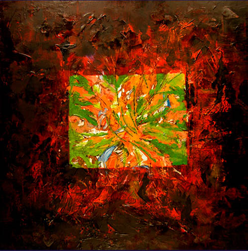

Akhzar - "Akadama"
ഀ ഀMixed Media & Oil on Canvas 24"x24" ഀ - Price: Upon Request
Akadama the name of which comes from the ഀ Japanese words for red and ball, is a naturally occurring, granular clay like ഀ mineral that is used as soil for bonsai trees and other container-grown plants. ഀ It is surface mined, immediately sifted and bagged, and supplied in various ഀ grades: the deeper mined grade being somewhat harder and more useful in ഀ horticulture than the more shallow mined grades. Akadama may also act as ഀ one component of growing medium when combined with other elements such ഀ as sand, composted bark, peat, or crushed lava. Akadama’s colour darkens ഀ when moist which can help the grower determine when to water a tree.ഀ ഀ
Akhzar - "Chernozem"
ഀ ഀMixed Media & Oil on Canvas 24"x24" ഀ - Price: Upon Request
Chernozem, or Black Earth (from Russian чернозём, ഀ black soil) is a black-coloured soil containing a very high percentage of humus — ഀ 3% to 15%, and high percentages of phosphoric acids, phosphorus and ammonia. ഀ Chernozem is very fertile and produces a high agricultural yield. There are two ഀ "Chernozem belts" in the world: from Northeast Ukraine across the Black Earth ഀ Region and Southern Russia into Siberia, and in the Canadian Prairies. Similar ഀ soil types occur in Texas. It has a large depth, often more than 40 inches and ഀ up to 250 inches (6 metres) in Ukraine. Chernozemic soils are a soil type in the ഀ Canadian system of soil classification and the United Nations' FAO soil classification.ഀ ഀ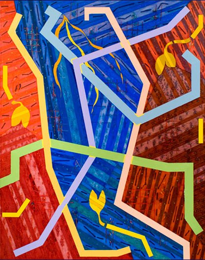
Akhzar - "Entisol"
ഀ ഀMixed Media & Oil on Canvas 48"x60" ഀ - Price: Upon Request
In USA soil taxonomy, Entisols are defined as soils ഀ that do not show any profile development. An Entisol has no diagnostic horizons, and ഀ most are basically unaltered from their parent rock. In Australia, most Entisols are ഀ known as Rudosols or Tenosols, whilst Arents are known as Anthroposols. In the ഀ FAO soil classification, because of the diversity of their properties, suborders of ഀ Entisols form individual soil orders (eg. Fluvisols, Lithosols).ഀ ഀ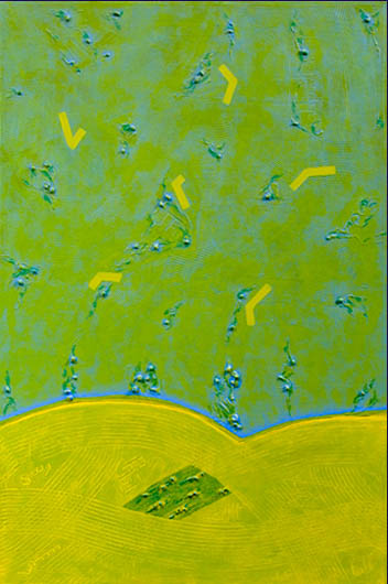
Akhzar - "Hilo"
ഀ ഀMixed Media & Oil on Canvas 24"x36" ഀ - Price: Upon Request
Hilo soil is the official state soil of the state of ഀ Hawaii. These soils cover about 14,500 acres and are considered prime agricultural ഀ land. The Hawaiian definition of the word “Hilo” is “first night of the full moon.” ഀ Also, the word is the Polynesian term for “Navigator.” The Hilo soil series consists ഀ of very deep, moderately well drained soils that formed in many layers of volcanic ഀ ash with lesser amounts of dust from the deserts of central Asia. These dust layers ഀ are noticeable because their gray color contrasts with the dark brown and dark ഀ reddish brown subsoil formed in volcanic ash. There are several buried layers ഀ within the Hilo soil profile. Hilo soils occur on the uplands of the Mauna Kea ഀ volcano along the Hamakua Coast.ഀ ഀ ഀ ഀ ഀ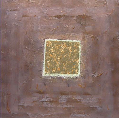
Akhzar - "Houdek"
ഀ ഀMixed Media & Oil on Canvas 24"x24" ഀ - Price: Upon Request
Houdek is a type of soil composed of glacial till and ഀ decomposed organic matter. It is found only in the U.S. state of South Dakota where ഀ it is the state soil. Houdek topsoil is composed of weathered glacial till and 2% to 4% ഀ organic matter which gives it a deep, dark color. The subsoil consists of layers of clay ഀ and lime accumulations that were carried downward from the surface by water. ഀ Below these layers is the parent material of glacial till.ഀ ഀ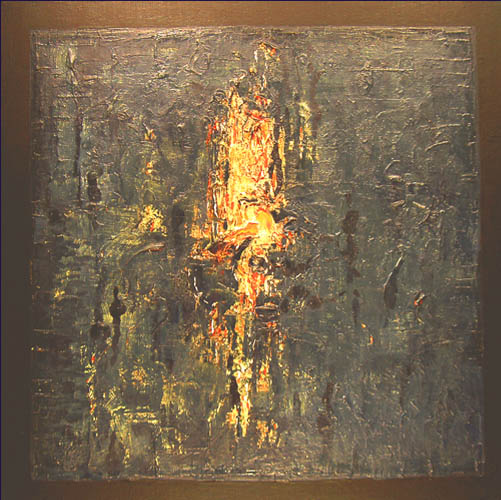
Akhzar - "Hume"
ഀ ഀMixed Media & Oil on Canvas 48"x48" ഀ - Price: Upon Request
Hume is a soil type that is well drained and ഀ slowly permeable. Hume is formed from the erosion of shale and sandstone. ഀ Hume soils occur naturally on slopes and alluvial fans.ഀ ഀ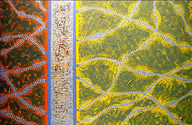
Akhzar - "Loam"
ഀ ഀMixed Media & Oil on Canvas 36"x24"ഀ - Price: Upon Request
Loam is a soil of sand, silt, and clay in relatively ഀ even concentration (about 40-40-20% concentration respectively), considered ideal ഀ for gardening and agricultural uses. Loam soils generally contain more nutrients and ഀ humus than sandy soils, have better infiltration and drainage than silty soils, and are ഀ easier to till than clayey soils. Loams are gritty, plastic when moist, and retain water ഀ easily. In addition to the term loam, different names are given to soils with ഀ slightly different proportions of sand, silt, and clay: sandy loam, silty loam, clay ഀ loam, sandy clay loam, silty clay loam, and loam. A "loamy" soil feels mellow and ഀ is easy to work over a wide range of moisture conditions. A soil dominated by one ഀ or two of the three particle size groups can behave like loam if it has a strong ഀ granular structure (promoted by a high content of organic matter). However, a ഀ soil that meets the textural definition of loam can lose its characteristic desirable ഀ qualities when compacted, depleted of organic matter, or has dispersive clay in ഀ its fine-earth fraction. Loam soil is ideal for growing crops because it retains ഀ nutrients well and retains water while still allowing the water to flow freely. This ഀ soil is found in a majority of successful farms in regions around the world known for ഀ their fertile land.ഀ ഀ ഀ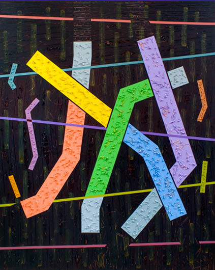
Akhzar - "Orovada"
ഀ ഀMixed Media & Oil on Canvas 48"x60ഀ - Price: Upon Request
Orovada series soils are extensive in northern ഀ Nevada, where they have an extent of more than 360,000,000 acres (1,500,000 km²). ഀ They are common soils on semiarid rangeland with sagebrush-grass plant communities. ഀ Orovada soils are arable (able to be cultivated) when irrigated and are considered prime ഀ farmland.[citation needed] Alfalfa for hay and seed, winter wheat and barley, and grass ഀ for hay and pasture are the principal crops grown on these soils. Orovada soils are ഀ well drained and formed in alluvium derived from mixed rock sources and in loess ഀ and volcanic ash. These soils typically occur in the Great Basin section of the Basin ഀ and Range physiographic province.ഀ ഀ
Akhzar - "Podsol"
ഀ ഀMixed Media & Oil on Canvas 36"x36"ഀ - Price: Upon Request
In soil science, Podsol (also spelled Podzol, or ഀ known as Spodosol) are the typical soils of coniferous, or Boreal forests. They are ഀ also the typical soils of eucalypt forests and heathlands in southern Australia. ഀ The name is Russian for "under ash" (под/pod=under, зола/zola=ash) and likely ഀ refers to the common experience of Russian peasants of plowing up an apparent ഀ under-layer of ash (leached or E horizon) during first plowing of a virgin soil of this ഀ type. These soils are found in areas that are wet and cold (for example in ഀ Northern Ontario or Russia) and also in warm areas such as Florida where sandy ഀ soils have fluctuating water tables (humic variant of the northern podzol or Humod).ഀ ഀ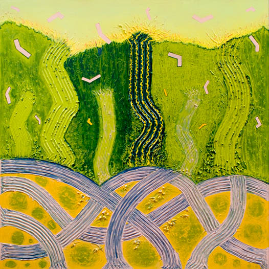
Akhzar - "Seitz"
ഀ ഀMixed Media & Oil on Canvas 48"x48"ഀ - Price: Upon Request
The Wigner-Seitz cell (named after E. P. Wigner ഀ and Frederick Seitz) is a geometrical construction which helps in the study ഀ of crystalline material in solid-state physics. The unique property of a crystal ഀ is that its atoms are arranged in a regular, 3-dimensional array, which is ഀ called a lattice. All the properties attributed to crystalline materials stem ഀ from this highly ordered structure. Such a structure exhibits discrete ഀ translational symmetry. In order to model and study such a periodic system, ഀ one needs a mathematical "handle" to describe the symmetry and hence ഀ draw conclusions about the consequences of this symmetry. The Wigner-Seitz ഀ cell is a means to achieve this.ഀ ഀ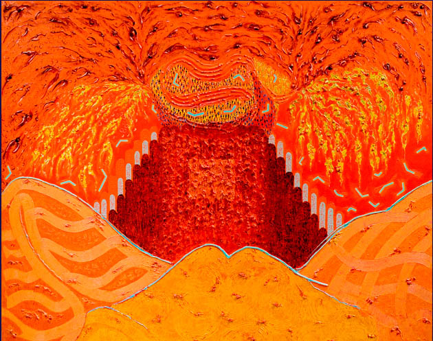
Akhzar - "Solonetz"
ഀ ഀMixed Media & Oil on Canvas 60"x48ഀ - Price: Upon Request
Solonetz soils are defined by an accumulation ഀ of sodium salts and readily displaceable sodium ions bound to soil particles in a ഀ layer below the surface horizon (uppermost layer). This subsurface layer also contains ഀ a significant amount of accumulated clay.ഀ ഀ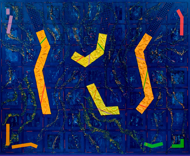
Akhzar - "Tanana"
ഀ ഀMixed Media & Oil on Canvas 60"x48"ഀ - Price: Upon Request
Surficial geologic map of the Tanana B-1 Quadrangle, ഀ Central Alaska. The Tanana River is a tributary of the Yukon River in the U.S. state of ഀ Alaska. Its headwaters are on the north slope of the Wrangell Mountains in southeast ഀ Alaska. It flows in a northeast direction, and then turns to the northwest near the border ഀ with the Yukon Territory, and flows laterally along the northern slope of the Alaska Range,ഀ roughly paralleled by the Alaska Highway. In central Alaska, it emerges into a lowland ഀ marsh region known as the Tanana Valley and passes to the south of the city of Fairbanks ഀ and past the village of Ester. In the marsh regions it is joined by several large tributaries, ഀ including the Nenana (near the city of Nenana) and the Kantishna. It empties into the ഀ Yukon approximately 70 miles (110 km) downriver from the village of Manley Hot Springs, ഀ near the town of Tanana. The date when the ice breaks on the Tanana River, an event ഀ that commemorates both the start of spring in Alaska, as well as transportation in ഀ Alaska before paved roads, trains, and planes, is the point of the Nenana Ice Classic, ഀ a guessing game held in Nenana. During the history of the Ice Classic, the earliest ഀ calendar date the ice broke was April 20 in both 1940 and 1998; the latest date was ഀ May 20, 1964. The last prize awarded as of January 2005 was $300,000.ഀ ഀ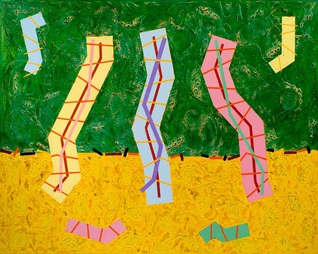
Akhzar - "Tifton"
ഀ ഀMixed Media & Oil on Canvas 60"x48"ഀ - Price: Upon Request
Tifton - A city in George, University of Georgia, ഀ College of Agricultural and Environmental Sciencesഀ ഀ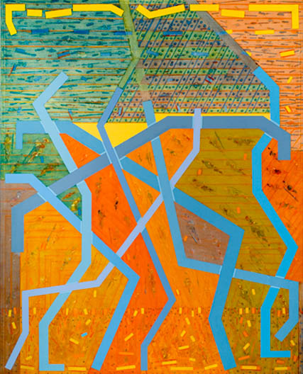
Akhzar - "Yedoma"
ഀ ഀMixed Media & Oil on Canvas 48"x60"ഀ - Price: Upon Request
Yedoma is an organic-rich (about 2% carbon by mass) ഀ Pleistocene-age loess permafrost with ice content of 50–90% by volume[1]. ഀ The amount of carbon trapped in this type of permafrost is much more ഀ prevalent than originally thought and may be about 500 GT, that is almost ഀ 100 times the amount of carbon released into the air each year by the burning ഀ of fossil fuels [2]. Melting yedoma is a significant source of atmospheric methane ഀ (about 4 Tg of CH4 per year).ഀ ഀ ഀ -ഀഀ ഀ ഀ ഀ